Step 1
Comparison Shortlist
Machine-Ready Briefs: AI turns undefined needs into a technical project request.
We use cookies to improve your experience and analyze site traffic. You can accept all cookies or only essential ones.
Stop browsing static lists. Tell Bilarna your specific needs. Our AI translates your words into a structured, machine-ready request and instantly routes it to verified Location Intelligence Solutions experts for accurate quotes.
Machine-Ready Briefs: AI turns undefined needs into a technical project request.
Verified Trust Scores: Compare providers using our 57-point AI safety check.
Direct Access: Skip cold outreach. Request quotes and book demos directly in chat.
Precision Matching: Filter matches by specific constraints, budget, and integrations.
Risk Elimination: Validated capacity signals reduce evaluation drag & risk.
Ranked by AI Trust Score & Capability
Run a free AEO + signal audit for your domain.
AI Answer Engine Optimization (AEO)
List once. Convert intent from live AI conversations without heavy integration.
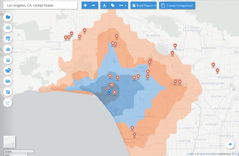
Location intelligence is the analytical process of deriving business insights from geographic and spatial data to inform strategic decision-making. This discipline combines geographic information systems (GIS), real-time data visualization, and predictive analytics to identify optimal locations, understand customer movement patterns, and evaluate market opportunities. It serves key industries including retail, real estate, logistics, and urban planning by minimizing risks, optimizing resource allocation, and securing competitive advantages. Through integration of demographic, traffic, and competitive data, it enables data-driven insights for expansion planning, network optimization, and customer segmentation.
Providers of location intelligence include specialized GIS software companies, geospatial analytics firms, and business intelligence platforms with spatial capabilities. These encompass established geographic information system vendors, data aggregators with real-time foot traffic and mobility data, and consulting firms specializing in spatial analysis. Many hold certifications in GIS technologies, data science, or industry-specific expertise in retail or commercial real estate. These organizations develop platforms for geomarketing, site selection, and spatial forecasting that deliver customized solutions for market expansion, network planning, and market entry strategies.
Location intelligence solutions operate through the integration of geospatial data, AI modeling, and interactive dashboards. Typical workflows involve data preparation, spatial modeling, visualization, and insight generation. Pricing models range from monthly SaaS subscriptions (starting at $200/month) to project-based consulting engagements ($5,000–$50,000). Implementation typically takes 2–8 weeks depending on data integration and customization requirements. Digital touchpoints include online demos, AI-powered quoting tools, geodata file uploads, and interactive ROI calculators, followed by technical support and regular data updates.
Yes, conversation intelligence platforms provide summaries and actionable insights from meetings by analyzing recorded conversations. 1. Upload or record your meeting audio or video. 2. The platform transcribes the conversation and identifies key topics and contributors. 3. It analyzes emotional tone, pain points, customer preferences, and open questions. 4. Generates concise summaries highlighting important discussion points and action items. 5. Use these insights to guide decision-making, follow-up actions, and strategic planning.
Yes, the clinic has recently moved to a new address. This change is important for patients to note to ensure they visit the correct location for their appointments and services. It is recommended to check the clinic's official website or contact them directly for the updated address details.
Advertising agencies are using artificial intelligence to automate routine tasks, enhance audience targeting, and optimize campaign performance through data-driven insights. AI tools enable agencies to analyze vast datasets for consumer behavior patterns, predict market trends, and personalize ad content at scale for improved relevance. Specific applications include programmatic advertising platforms for real-time bidding on ad inventory, AI-powered chatbots for 24/7 customer engagement, and computer vision for brand monitoring across digital channels. In creative processes, AI assists by generating ad copy variants, designing visual elements, and A/B testing content to identify high-performing combinations. This integration boosts operational efficiency, reduces manual costs, and allows for agile campaign adjustments, though it is typically complemented by human strategic oversight to maintain brand voice and ethical standards.
A business can implement artificial intelligence as a transversal layer to enhance digital performance by integrating it into key processes such as data analysis, personalization, and automation. The implementation focuses on optimizing costs and returns, using AI to power each phase of the optimization process for better decision-making, faster execution, and multiplied results. Common applications include using AI for advanced audience generation through SEO, paid ads, and social media targeting, as well as for hyper-personalization of user experiences. AI is also deployed for automating repetitive tasks to reduce operational costs and for behavioral analysis to inform CRO and UX design. Successful implementation often involves a hybrid approach, either complementing an in-house team with external AI expertise for specific challenges like checkout optimization or seasonal campaigns, or by embedding dedicated AI talent directly into the business operations.
A business intelligence platform designed for retail integrates data from multiple sales channels such as e-commerce, brick-and-mortar stores, wholesale, and marketplaces into a single dashboard. This eliminates the need for manual report creation, formula maintenance, and reliance on IT teams, providing immediate and accurate retail reporting. Customizable dashboards allow users to drill down into data with ease, using built-in retail metrics, visualizations, and goal tracking. Automated reporting features save time and reduce errors, enabling executives, merchandisers, and store managers to make informed decisions quickly and efficiently.
A business intelligence platform designed for retail can consolidate data from various sales channels such as e-commerce, brick-and-mortar stores, wholesale, and marketplaces into a single dashboard. This integration eliminates the need for manual report generation, reduces errors caused by formula maintenance, and removes dependency on IT teams. Retailers gain immediate access to accurate, real-time data, enabling faster decision-making and better inventory management. Customizable dashboards with built-in retail metrics and visualizations allow users to drill down into data effortlessly, improving overall operational efficiency and sales performance.
A consulting company can help improve your business with artificial intelligence by providing expert guidance and tailored AI solutions. Follow these steps: 1. Assess your current business processes to identify areas where AI can add value. 2. Develop a customized AI strategy aligned with your business goals. 3. Implement AI technologies such as machine learning, automation, or data analytics. 4. Train your team to effectively use AI tools. 5. Continuously monitor and optimize AI applications to ensure ongoing improvement.
Integrating utilization intelligence into workspace management allows corporate occupiers to gain real-time insights into how office spaces are used. By syncing attendance data from badge swipes, Wi-Fi, sensors, and HRIS systems, organizations can accurately track occupancy levels and identify underutilized areas. This data-driven approach helps optimize space allocation, reduce real estate costs, and improve employee experience by ensuring that workspaces meet actual demand. Additionally, utilization intelligence supports compliance with health and safety regulations by monitoring occupancy limits and enables better planning for hybrid work models.
A unified camera intelligence platform integrates multiple camera feeds into a single system, enabling public safety teams to detect threats more quickly and respond in real time. By consolidating video data, it allows for comprehensive searches using text, image, or audio inputs, providing detailed information such as coordinates, camera location, time, and regions. This centralized approach enhances situational awareness, streamlines decision-making, and supports immediate actions through various communication channels like SMS, email, or collaboration tools. Overall, it improves efficiency and effectiveness in protecting communities.
Use AI agents to convert public web data into market intelligence by following these steps: 1. Collect relevant data from public web sources such as websites, forums, and social media. 2. Process and analyze the data using AI algorithms to identify trends, customer preferences, and competitor activities. 3. Aggregate the insights into actionable market intelligence reports that support strategic decision-making.